Digital technology allowing instant access to crystal-clear, up-to-date images – more detailed and more recent than those taken by satellite – is transforming entire industries.
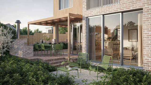
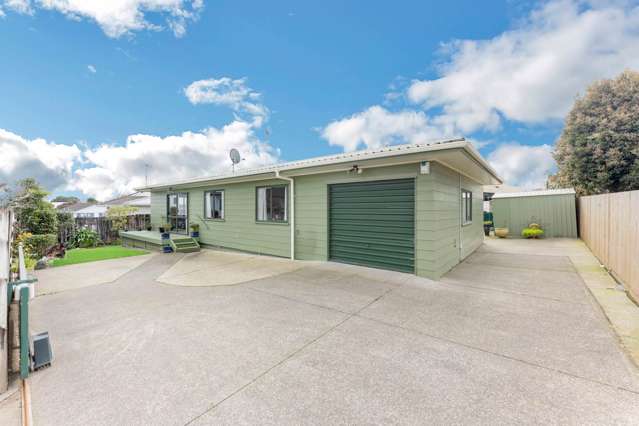
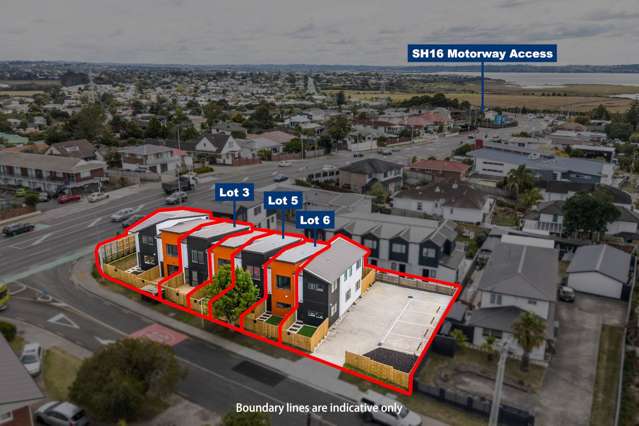
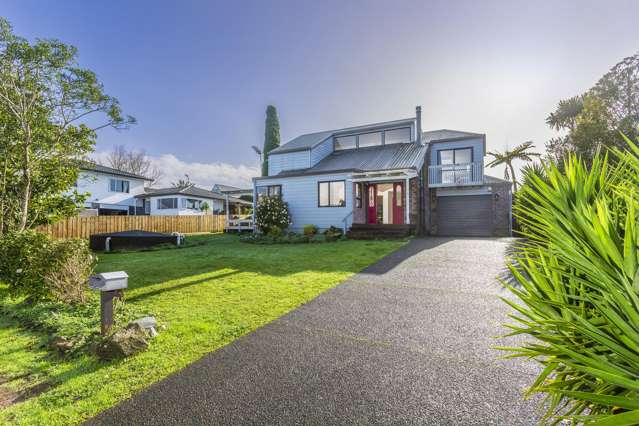
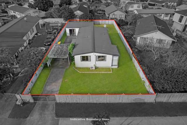
Birds-eye view photographs offering pin-sharp definition of New Zealand's streets are, for example, giving estate agents, property developers, insurance companies, builders, tradesmen and traffic management and control experts a clear picture of this country’s built environment. An online aerial imagery service from Nearmap lets them take a good look at any address without having to visit it.
Start your property search
The clarity and up-to-date nature of Nearmap imagery sets the company apart. Pilots regularly fly over New Zealand's most populated areas to keep the image library up to date, the last fly-overs being in October.
Coverage is comprehensive - covering 73 per cent of the New Zealand population across 13 urban areas, encompassing more than 18,800 square km annually. Images are then stitched together seamlessly, for easy exploration of the landscape.
Planes fitted with cameras take photos at high resolution from low altitude – providing much clearer photos than those available to the public from satellites.
“We only take photos on clear days and when the sun is in the best position so we obtain pristine photos,” says the firm's campaign manager Claudine Pache.
“Our images are so clear and detailed that you can see the condition of a roof on someone's home, even see the state of solar panels on a roof.”
In another example, she says people offering lawn mowing services can benefit from using built-in measurement tools: “When asked to quote to cut someone's lawn, they can look at the back yard on Nearmap MapBrowser and measure the area to accurately determine its size,” says Pache.
“If you are billing by the square metre then you can quote for jobs without having to visit the property at all.”
There are several advantages to this: those using the service can save a great deal of time (and thus cost) by using clear and accurate aerial imagery. Pache says Nearmap pushes boundaries “so people can do their job better” because “we are essentially capturing the truth on the ground.”
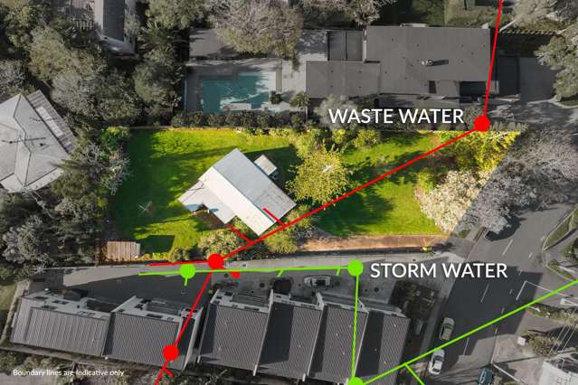
Users can perform site surveys from their desk, see new housing developments, plots of land, integrate imagery with GIS (geographic information system) and CAD (computer aided design) platforms and export images with reliable measurements.
“People also use Nearmap for lead generation,” Pache says. “Landscapers, estate agents and all manner of people identify buildings and locations where they can offer their services. Builders, re-roofers, roof maintenance firms, and property developers really value the clear up-to-date imagery we offer.”
Nearmap has been taking aerial photos of New Zealand for three years and all historical imagery is also available at a glance, with a split-screen tool for easy comparison – another built-in tool.
Nearmap provides imagery “as-a-service” and is “insanely easy to use”, says Pache, because it is browser-based – meaning there is no need to install an app or other software. Just sign up, search for the street address, and zoom in – without losing any detail in the photos.
“Ease of use is definitely one of the reasons we have been so successful,” she says. “We have married technology with beautiful imagery. You don't have to be an expert user, you don't need any training or spend hours getting to know our website.
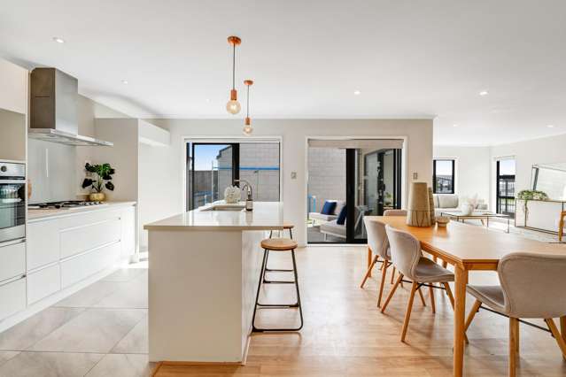
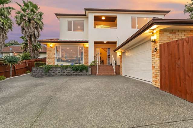
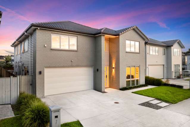
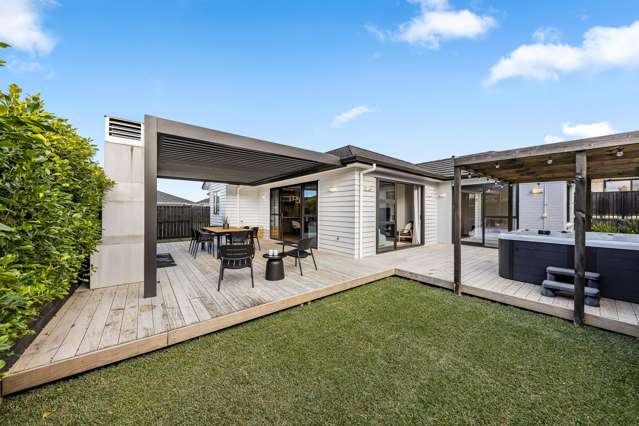
“While companies operating across the property market can definitely benefit from our imagery, we also see house buyers and estate agents relying on it so they can get a clear picture of the home they are either buying or proposing to market,” says Pache. “You can get an idea as to the condition of drives, gardens, adjacent properties and amenities – all in high resolution.
“Even if you just want to check the size of a plot of land against council records, that can be done accurately with Nearmap.”
To see example images and to find out more: NearMap.com/nz/en