- 39 Michaels Avenue


+23


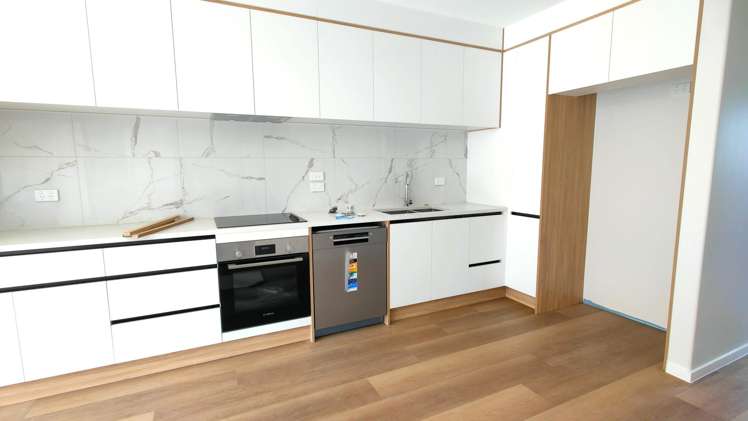
Pictures23
Floorplan
Map
Video & 3D tour
Data
Property data
Broadband available
Floor area
185m²
Land area
859m²
Unitary Plan
Zone 18 Residential - Mixed Housing Suburban Zone
About the area

Ellerslie, Auckland City
Ellerslie is a suburb which lies within the Territorial Authority of Auckland, one of 269 residential suburbs which form the wider region. Ellerslie is the 36th largest suburb of Auckland in terms of the total number of residential housing stock.
Ellerslie provides a range of housing stock, with the earliest residential housing recorded in the area constructed between 1800 - 1809. The majority of the residential housing stock in the locality was constructed between 1990 - 1999.
Residential housing stock in Ellerslie is made up of approximately 97% residential housing and 3% residential investment housing properties.
Learn moreSimilar properties for rent

