Spacious self-contained, studio/unit, with own private covered courtyard for relaxation around gardens IN NON FLOOD ZONE. Cool & breezy in summer and warm in winter with spacious indoor + outdoor feel.
Enjoy waking up early mornings with Tui's singing in neighbourhood, and lots of native bird life activity to entertain you throughout the day, in a well settled neighbourhood.
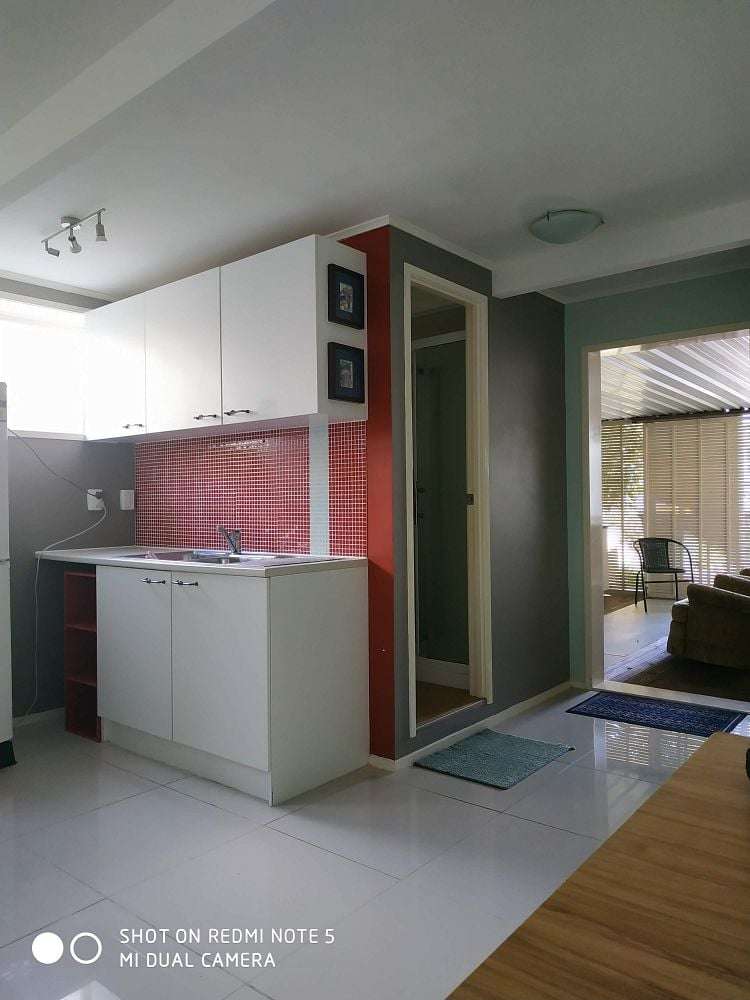
Furnishings: Fridge & Freezer, washing machine, heated towel rail, twin element cook top, pots & pans, crock pot, table & chairs, some drawers. Bring your own bed.
This home is in a safe, secure with quite neighbourhood at Pakuranga Heights, and also minutes walk to new built Eastern Busway connection.
Catch en-route connector to Panmure and train to Britomart -takes only 15 minutes.
Lots of public recreational parks at walking distance. 5 minutes drive to Botany, Sylvia Park, and Panmure.
Plenty of car parks available on wide street visible from the unit. No lawns to mow. (No children live on the premises and neighbours are quite and reserved, so it would be ideal for quite living working professional.)
(Do not inquire at property as gates will be locked to your disappointment.) Unit has meter check installed for power and water calculation.
Move in costs are rent at $450pw, paid in advance, plus four weeks bond of $1800 and extra for you own gas.
All outgoings are responsibility of the tenant. When making inquiries please fill in myRent application form before viewing.
Enquiries can be made through myRent.
Features: New build, Healthy Homes compliant, Fully-fenced, Deck, Smoke alarm, Garden, Furnished, Courtyard
TENANTS: To apply or schedule a viewing please click the email button to contact the landlord directly.
LANDLORDS: myRent.co.nz provides a cheaper solution to get your property in front of more potential tenants. We also offer property management for just $17/month.