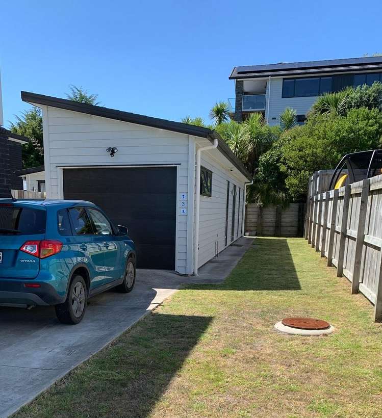
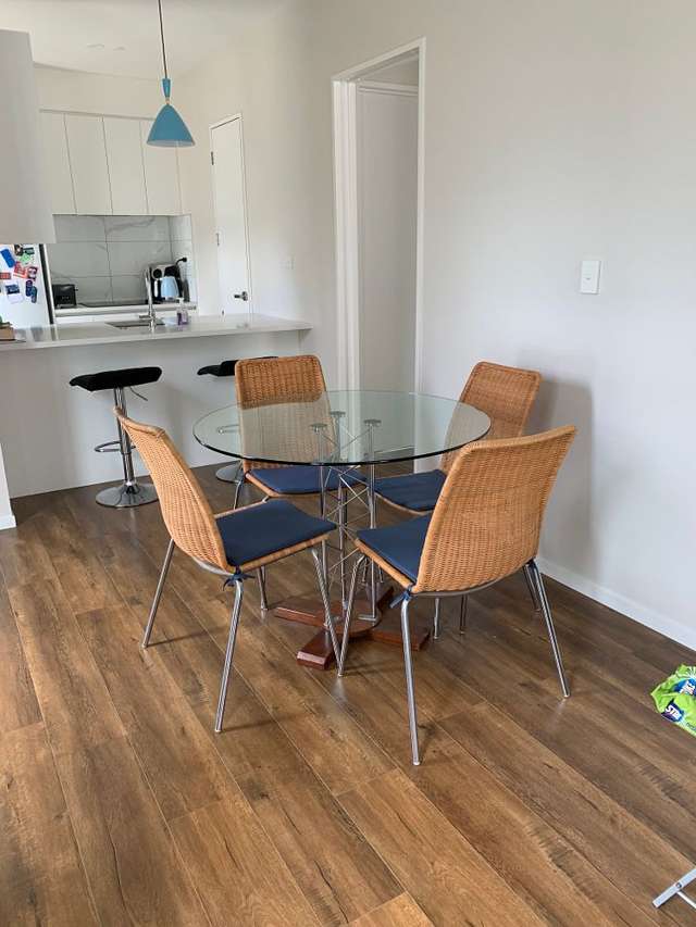
- 13 Karo Road


+12


Pictures12
Map
Data
Property data
Broadband available
Floor area
336m²
Land area
800m²
Unitary Plan
Zone 19 Residential - Single House Zone
About the area

Beachlands, Manukau City
Beachlands is a suburb which lies within the Territorial Authority of Auckland, one of 269 residential suburbs which form the wider region. Beachlands is the 44th largest suburb of Auckland in terms of the total number of residential housing stock.
Beachlands provides a range of housing stock, with the earliest residential housing recorded in the area constructed between 1900 - 1909. The majority of the residential housing stock in the locality was constructed between 2010 - 2019.
Residential housing stock in Beachlands is made up of approximately 93% residential housing , 5% residential investment housing and 1% lifestyle properties.
Learn more