- 447 Massey Road


+8


Pictures8
Map
Data
Property data
Broadband available
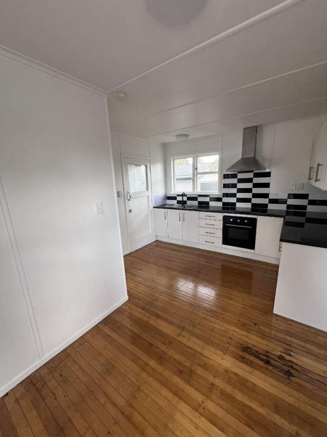
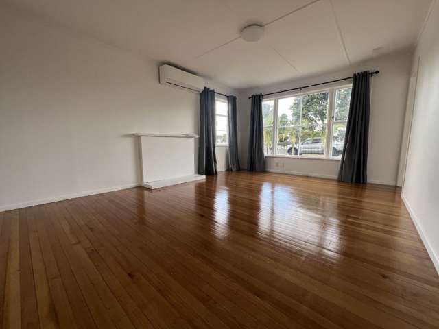
Floor area
185m²
Land area
809m²
Unitary Plan
Zone 18 Residential - Mixed Housing Suburban Zone
About the area

Māngere East, Manukau City
Mangere East is a suburb which lies within the Territorial Authority of Auckland, one of 269 residential suburbs which form the wider region. Mangere East is the 22nd largest suburb of Auckland in terms of the total number of residential housing stock.
Mangere East provides a range of housing stock, with the earliest residential housing recorded in the area constructed between 1910 - 1919. The majority of the residential housing stock in the locality was constructed between 1960 - 1969.
Residential housing stock in Mangere East is made up of approximately 92% residential housing and 8% residential investment housing properties.
Learn more