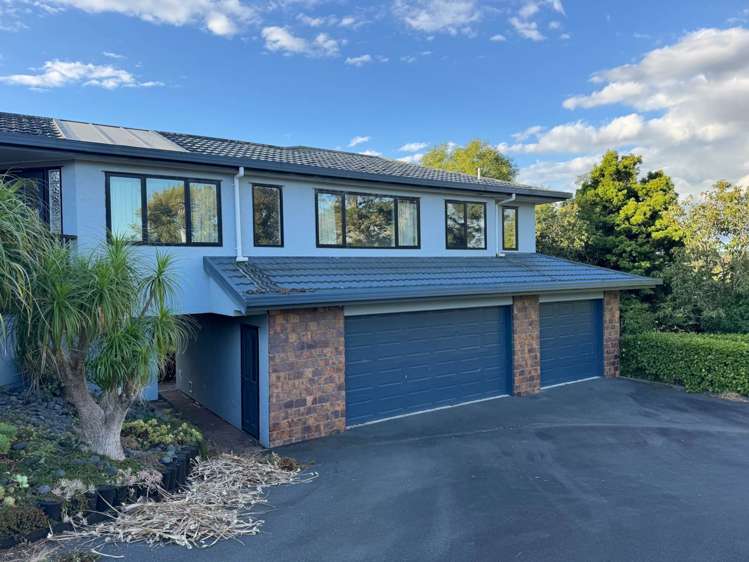
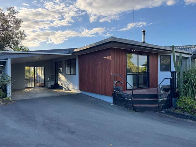
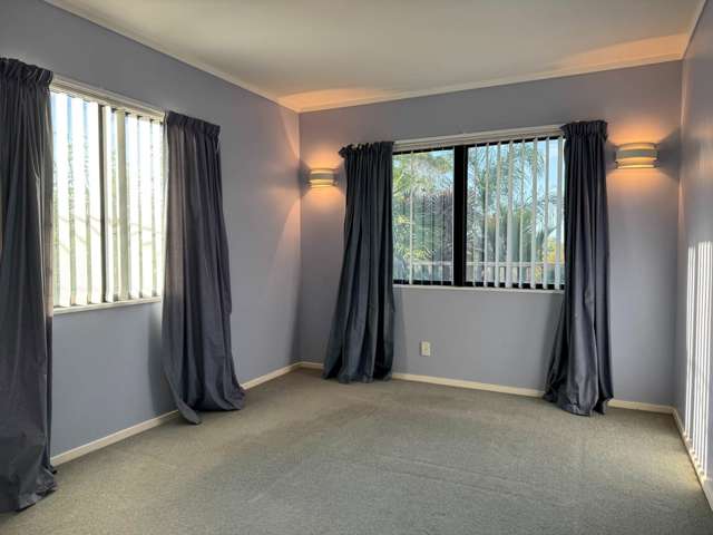
OneRoof
Open in the OneRoof app
open
319E Sim Road Paerata_0
319E Sim Road Paerata_1
319E Sim Road Paerata_2
319E Sim Road Paerata_3
319E Sim Road Paerata_4
319E Sim Road Paerata_5
319E Sim Road Paerata_6
319E Sim Road Paerata_7
319E Sim Road Paerata_8
319E Sim Road Paerata_9
319E Sim Road Paerata_10
319E Sim Road Paerata_11
319E Sim Road Paerata_12
319E Sim Road Paerata_13
319E Sim Road Paerata_14
319E Sim Road Paerata_15
319E Sim Road Paerata_16
319E Sim Road Paerata_17
319E Sim Road Paerata_18
319E Sim Road Paerata_19
319E Sim Road Paerata_1
319E Sim Road Paerata_2
+20
Pictures20
Map
logo
Data
Property data
Broadband available
Broadband available
Floor area
Floor area
297m²
Land area
Land area
6.16ha
Unitary Plan
Unitary Plan
Zone 11 Rural - Mixed Rural Zone
View more
About the area
Paerata, Franklin
Paerata, Franklin
Paerata is a suburb which lies within the Territorial Authority of Auckland, one of 269 residential suburbs which form the wider region. Paerata is the 222nd largest suburb of Auckland in terms of the total number of residential housing stock. Paerata provides a range of housing stock, with the earliest residential housing recorded in the area constructed between 1900 - 1909. The majority of the residential housing stock in the locality was constructed between 1990 - 1999. Residential housing stock in Paerata is made up of approximately 33% residential housing and 67% lifestyle properties.
Learn more
Similar properties for rent

Get the latest property news and listings direct to your inbox

This data may be sourced from your Councils, Regional Councils or other Local Authorities across NZ. Click here for more detail or please contact your Local Authority for clarification/correction.
Welcome to OneRoof
Sign in