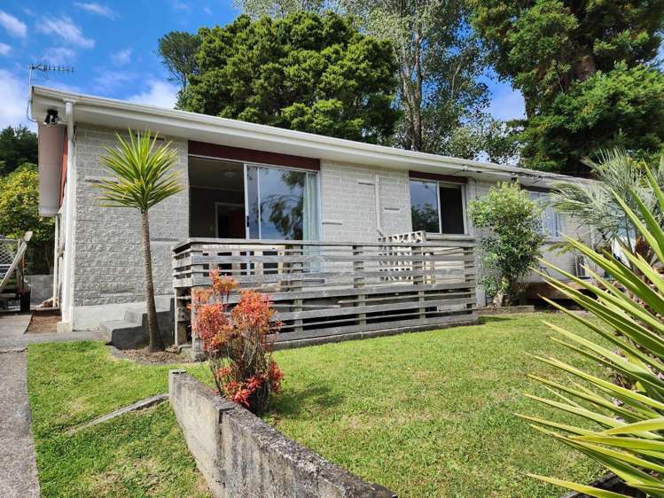
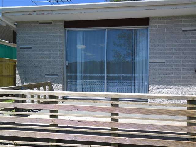
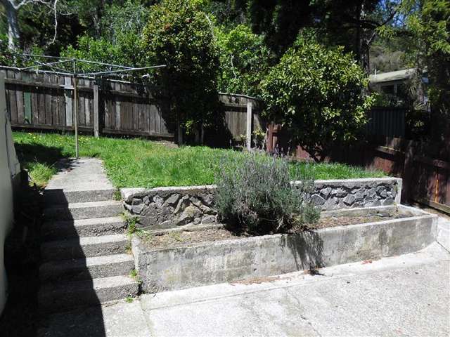
- 16B Hillside Drive


+10


Pictures10
Map
Data
About the area

Maoribank, Upper Hutt City
Maoribank is a suburb which lies within the Territorial Authority of Upper Hutt, one of 27 residential suburbs which form the wider region. Maoribank is the 14th largest suburb of Upper Hutt in terms of the total number of residential housing stock.
Maoribank provides a range of housing stock, with the earliest residential housing recorded in the area constructed between 1920 - 1929. The majority of the residential housing stock in the locality was constructed between 1970 - 1979.
Residential housing stock in Maoribank is made up of approximately 98% residential housing , 1% residential investment housing and 1% lifestyle properties.
Learn more